
We are currently upgrading our shopping cart; in the interim all orders are being diverted to Waterstones. If you would like to redeem a promotional code, or are an author wanting to place an order, please email us.

Contact us

Reconnoitring Russia

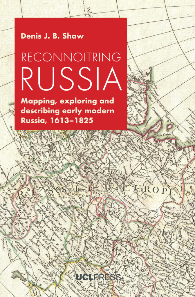
Like many European countries during the Great Age of Discovery and Exploration, Russia embarked on policies of state building, exploration and imperial expansion. At the beginning of the fourteenth century, the territory under Moscow’s control was about twenty thousand square kilometres. By 1800 Russia’s empire had expanded to some eighteen million square kilometres. Russia had thus become one of the world’s greatest empires.

By focusing on such geographical practices as exploring, observing, describing, mapping and similar activities, Reconnoitring Russia seeks to explain how Russia’s rulers and its educated public came to know and understand the territory of their expanding state and empire, especially as a result of the modernizing policies of such sovereigns as Peter the Great and Catherine the Great. It places the Russian experience into a comparative context, showing how that experience compares with those of other European countries over the same period. The book adopts a broad chronological framework, exploring the age between 1613 when the Romanov dynasty assumed power and 1825, the conclusion of Alexander I’s reign, or what is often termed the end of the ‘long eighteenth century’.

Architecture as a Way of Seeing and Learning

At the beginning of 2020, 66 long-term refugee camps existed along the East African Rift. Millions of young children have been born at the camps and have grown up there, yet it is unknown how their surrounding built environments affect their learning and development.

Architecture as a Way of Seeing and Learning presents an architect’s take on questions many academics and humanitarians ask. Is it relevant to look at camps through an urban lens and focus on their built environment? Which analytical benefits can architectural and design tools provide to refugee assistance and specifically to young children’s learning? And which advantages can assemblage thinking and situated knowledges bring about in analysing, understanding and transforming long-term refugee camps?

Responding to the extreme lack of information about East African camps, Nerea Amorós Elorduy has built contextualised knowledge – nuanced, situated and participatory – to describe, study and transform the East African long-term camps, and uncover hidden agencies in refugee assistance. She uses architecture as a means to create new knowledge collectively, include more local voices and speculate on how to improve the educational landscape for young children.

With this book, Amorós Elorduy brings nuance, contextualisation and empathy to the study and management of long-term refugee camps in East Africa. It is empathy, she argues, that will help change mindsets, decolonise humanitarian refugee assistance and its study. Crossing architecture, humanitarian aid and early career development, this book offers many practical learnings.

Mapping Society

From a rare map of yellow fever in eighteenth-century New York, to Charles Booth’s famous maps of poverty in nineteenth-century London, an Italian racial zoning map of early twentieth-century Asmara, to a map of wealth disparities in the banlieues of twenty-first-century Paris, Mapping Society traces the evolution of social cartography over the past two centuries. In this richly illustrated book, Laura Vaughan examines maps of ethnic or religious difference, poverty, and health inequalities, demonstrating how they not only serve as historical records of social enquiry, but also constitute inscriptions of social patterns that have been etched deeply on the surface of cities.

The book covers themes such as the use of visual rhetoric to change public opinion, the evolution of sociology as an academic practice, changing attitudes to physical disorder, and the complexity of segregation as an urban phenomenon. While the focus is on historical maps, the narrative carries the discussion of the spatial dimensions of social cartography forward to the present day, showing how disciplines such as public health, crime science, and urban planning, chart spatial data in their current practice. Containing examples of space syntax analysis alongside full colour maps and photographs, this volume will appeal to all those interested in the long-term forces that shape how people live in cities.

Cities Made of Boundaries

Cities Made of Boundaries presents the theoretical foundation and concepts for a new social scientific urban morphological mapping method, Boundary Line Type (BLT) Mapping. Its vantage is a plea to establish a frame of reference for radically comparative urban studies positioned between geography and archaeology. Based in multidisciplinary social and spatial theory, a critical realist understanding of the boundaries that compose built space is operationalised by a mapping practice utilising Geographical Information Systems (GIS).

Benjamin N. Vis gives a precise account of how BLT Mapping can be applied to detailed historical, reconstructed, contemporary, and archaeological urban plans, exemplified by sixteenth- to twenty-first century Winchester (UK) and Classic Maya Chunchucmil (Mexico). This account demonstrates how the functional and experiential difference between compact western and tropical dispersed cities can be explored.

The methodological development of Cities Made of Boundaries will appeal to readers interested in the comparative social analysis of built environments, and those seeking to expand the evidence-base of design options to structure urban life and development.

Supplementary materials for this book are available to download from [http://discovery.ucl.ac.uk/10055955/6/Supplement-BLT-table.pdf][1]

Sign up to our newsletter

Don't miss out!
Subscribe to the UCL Press newsletter for the latest open access books,
journal CfPs, news and views from our authors and much more!