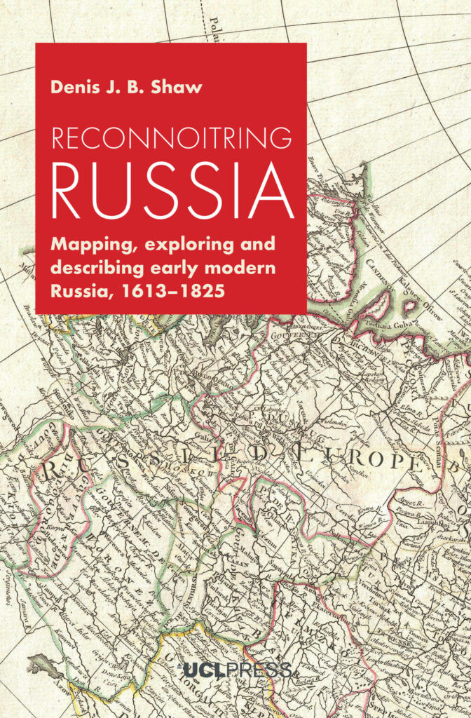
Reconnoitring Russia

Like many European countries during the Great Age of Discovery and Exploration, Russia embarked on policies of state building, exploration and imperial expansion. At the beginning of the fourteenth century, the territory under Moscow’s control was about twenty thousand square kilometres. By 1800 Russia’s empire had expanded to some eighteen million square kilometres. Russia had thus become one of the world’s greatest empires.

By focusing on such geographical practices as exploring, observing, describing, mapping and similar activities, Reconnoitring Russia seeks to explain how Russia’s rulers and its educated public came to know and understand the territory of their expanding state and empire, especially as a result of the modernizing policies of such sovereigns as Peter the Great and Catherine the Great. It places the Russian experience into a comparative context, showing how that experience compares with those of other European countries over the same period. The book adopts a broad chronological framework, exploring the age between 1613 when the Romanov dynasty assumed power and 1825, the conclusion of Alexander I’s reign, or what is often termed the end of the ‘long eighteenth century’.
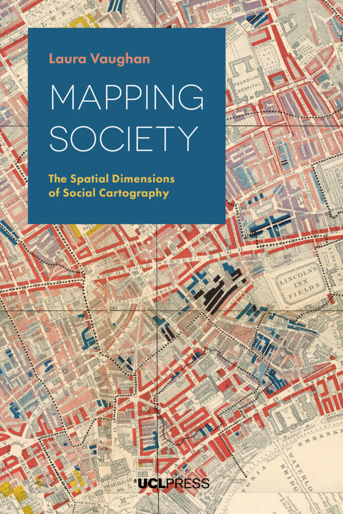
Mapping Society

From a rare map of yellow fever in eighteenth-century New York, to Charles Booth’s famous maps of poverty in nineteenth-century London, an Italian racial zoning map of early twentieth-century Asmara, to a map of wealth disparities in the banlieues of twenty-first-century Paris, Mapping Society traces the evolution of social cartography over the past two centuries. In this richly illustrated book, Laura Vaughan examines maps of ethnic or religious difference, poverty, and health inequalities, demonstrating how they not only serve as historical records of social enquiry, but also constitute inscriptions of social patterns that have been etched deeply on the surface of cities.

The book covers themes such as the use of visual rhetoric to change public opinion, the evolution of sociology as an academic practice, changing attitudes to physical disorder, and the complexity of segregation as an urban phenomenon. While the focus is on historical maps, the narrative carries the discussion of the spatial dimensions of social cartography forward to the present day, showing how disciplines such as public health, crime science, and urban planning, chart spatial data in their current practice. Containing examples of space syntax analysis alongside full colour maps and photographs, this volume will appeal to all those interested in the long-term forces that shape how people live in cities.

Sign up to our newsletter

Don't miss out!
Subscribe to the UCL Press newsletter for the latest open access books,
journal CfPs, news and views from our authors and much more!