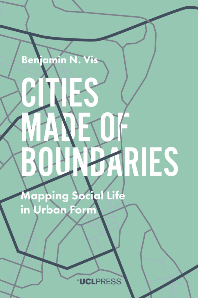
Cities Made of Boundaries
Mapping Social Life in Urban Form
Benjamin N. Vis (Author)
Cities Made of Boundaries presents the theoretical foundation and concepts for a new social scientific urban morphological mapping method, Boundary Line Type (BLT) Mapping. Its vantage is a plea to establish a frame of reference for radically comparative urban studies positioned between geography and archaeology. Based in multidisciplinary social and spatial theory, a critical realist understanding of the boundaries that compose built space is operationalised by a mapping practice utilising Geographical Information Systems (GIS).
Benjamin N. Vis gives a precise account of how BLT Mapping can be applied to detailed historical, reconstructed, contemporary, and archaeological urban plans, exemplified by sixteenth- to twenty-first century Winchester (UK) and Classic Maya Chunchucmil (Mexico). This account demonstrates how the functional and experiential difference between compact western and tropical dispersed cities can be explored.
The methodological development of Cities Made of Boundaries will appeal to readers interested in the comparative social analysis of built environments, and those seeking to expand the evidence-base of design options to structure urban life and development.
Supplementary materials for this book are available to download from [http://discovery.ucl.ac.uk/10055955/6/Supplement-BLT-table.pdf][1]
Related titles
Cities Made of Boundaries
Mapping Social Life in Urban Form
Cities Made of Boundaries presents the theoretical foundation and concepts for a new social scientific urban morphological mapping method, Boundary Line Type (BLT) Mapping. Its vantage is a plea to establish a frame of reference for radically comparative urban studies positioned between geography and archaeology. Based in multidisciplinary social and spatial theory, a critical realist understanding of the boundaries that compose built space is operationalised by a mapping practice utilising Geographical Information Systems (GIS).
Benjamin N. Vis gives a precise account of how BLT Mapping can be applied to detailed historical, reconstructed, contemporary, and archaeological urban plans, exemplified by sixteenth- to twenty-first century Winchester (UK) and Classic Maya Chunchucmil (Mexico). This account demonstrates how the functional and experiential difference between compact western and tropical dispersed cities can be explored.
The methodological development of Cities Made of Boundaries will appeal to readers interested in the comparative social analysis of built environments, and those seeking to expand the evidence-base of design options to structure urban life and development.
Supplementary materials for this book are available to download from [http://discovery.ucl.ac.uk/10055955/6/Supplement-BLT-table.pdf][1]
‘A deep analysis on how the study of different types of boundaries can contribute to enrich urban analysis.’
ZARCH
ZARCH
‘A useful volume.’
Urban Morphology
‘[A] bold new approach to computerized spatial analysis of urban form.’
American Antiquity